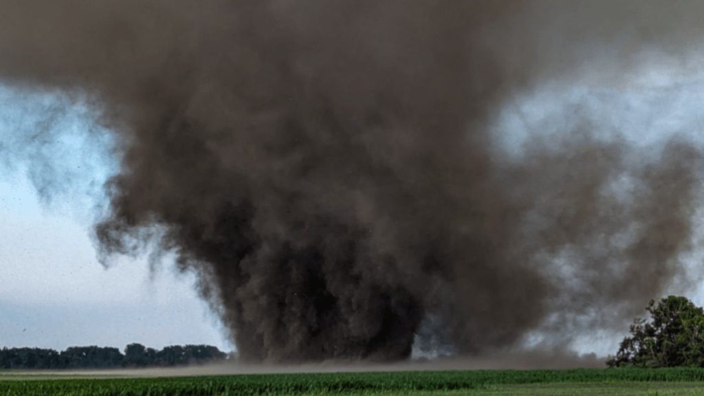
Several strong thunderstorms formed along a border that extended south, perpendicular to the Red River in North Dakota and into Minnesota. Storms caused many reports of destructive wind gusts and huge hail, as well as two tornadoes in North Dakota’s Richland County, near Colfax, Barney, Mooreton, and Dwight. The most important of these tornadoes was a (preliminary) 26-yard-wide EF1 with an estimated peak wind speed of 107 mph. It danced through 13.03 miles of relatively open farmland, evading multiple towns and farms. As this tornado grew stronger, it absorbed more soil and plant matter from the earth and fields, resulting in an extremely “dirty” black cone. The tornado remained on the ground from 7:15 to 7:58 p.m. CDT before lifting just a mile north of Mooreton, ND, and a few miles west of Dwight, ND (about 40 miles south of Fargo). Thankfully, there have been no reports of injury or structural damage, with only tree damage, ground scarring, and some wind-whipped or missing crops in the aftermath.
Massive Tornado Just Misses Multiple North Dakota Towns Saturday Evening
